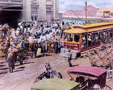
Honolulu once abounded with streetcars. Now, public transportation is in strong demand across Hawaii. Photo: Honolulu Star-Bulletin Archives
In this two-part report, Curbing Cars intern Matt Varcak lifts us out of the weather doldrums and takes us to Hawaii, a surprising hot spot for public transportation.
By Matthew Varcak
If you visit the Hawaiian Islands, you will likely enjoy beautiful weather, pristine bodies of water, ancient grounds, delicious food and happy people. I was lucky enough to be one of these people this past summer when I visited the Island of Hawaii (The Big Island).
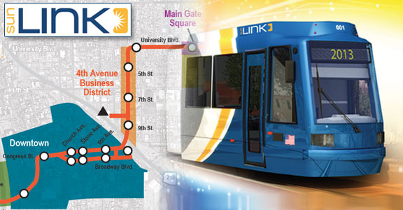
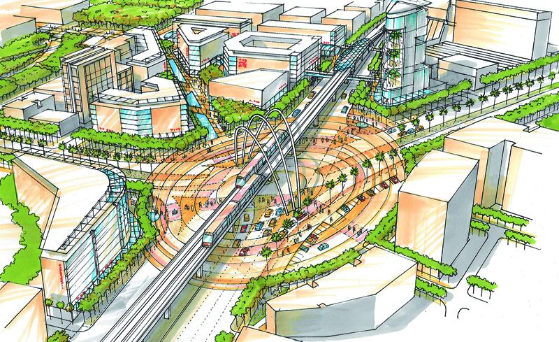
What struck me the most — beyond that — was how affordable and extensive the mass transit was. Hawaii once had streetcars, and it soon will get a light rail system. Meanwhile, the main way people get around is on buses.
At roughly 4,000 square miles, the Island of Hawaii is the state’s largest island, but it is the second-most populous island behind Oahu. Its major cities are separated by long stretches of winding highways wrapping around Mauna Kea and Mauna Loa, two of Hawaii’s volcanoes, which stand at nearly 14,000 feet above sea level.
With a general fare only costing $1, it soon became clear that it would be much more affordable to ride the Hele-On Bus, Hawaii County’s Mass Transit system, rather than drive myself everywhere. Continue reading →